
Tracking gusty storms and cooler temps with possible flooding
General Idaho
Archived
•
October 23, 2026
•
2 views
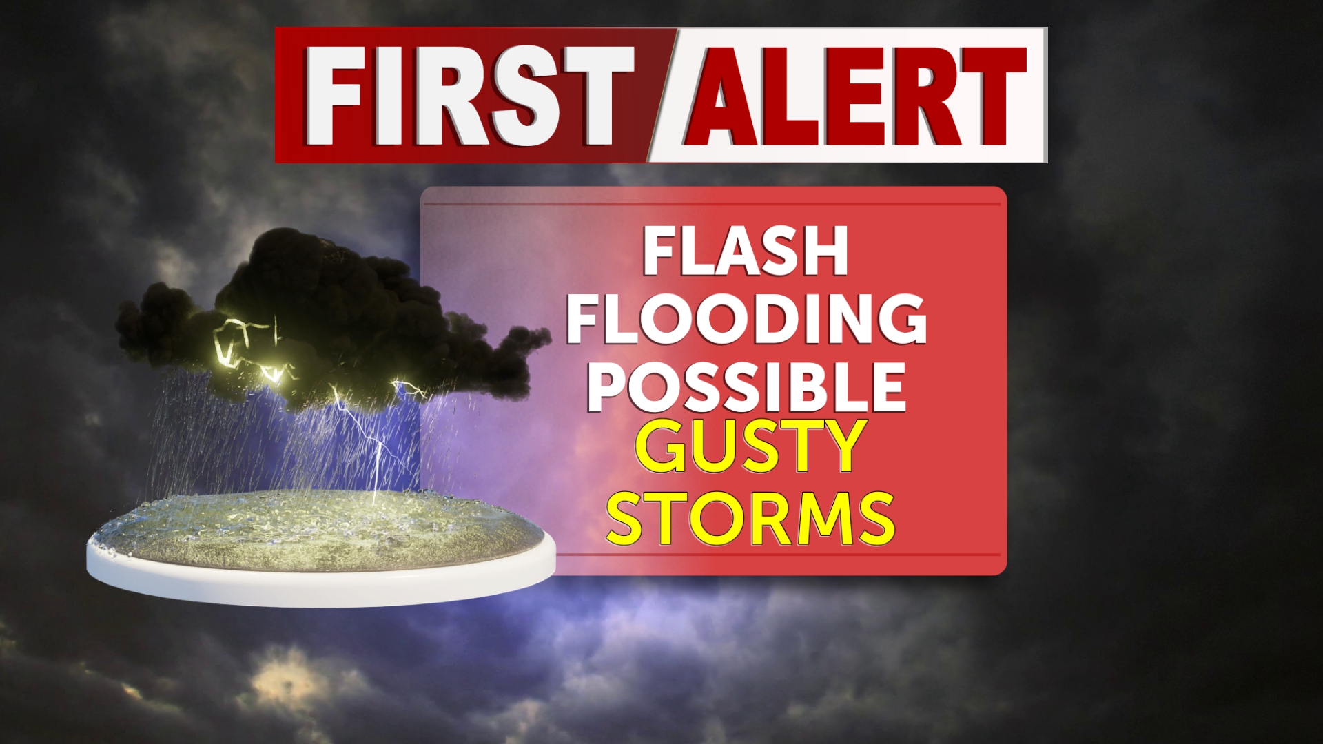
First Alert Weather Day: Flash flood watches remain in effect through tonight at 6pm for the upper central Snake River Plain along I-15 and the Big Rock Burn scar. Low pressure and drenching rain with a chance of thunderstorms to start Friday. Accumulations anywhere from .50" to 1.25" possible dependent on dry air in the
Source: Local News 8 (KIFI) | https://localnews8.com/feed/ - Read Original
"Camping the Easyway"

"We build AI or anything ICST"
Discussion (0)
Please log in to post a comment.
No comments yet. Be the first to share your thoughts!
Sponsored


"What you put in is not always what you get out."