
From drone maps to property cards: How SVAMITVA is changing rural land records
Global - Asia
Archived
•
September 3, 2026
•
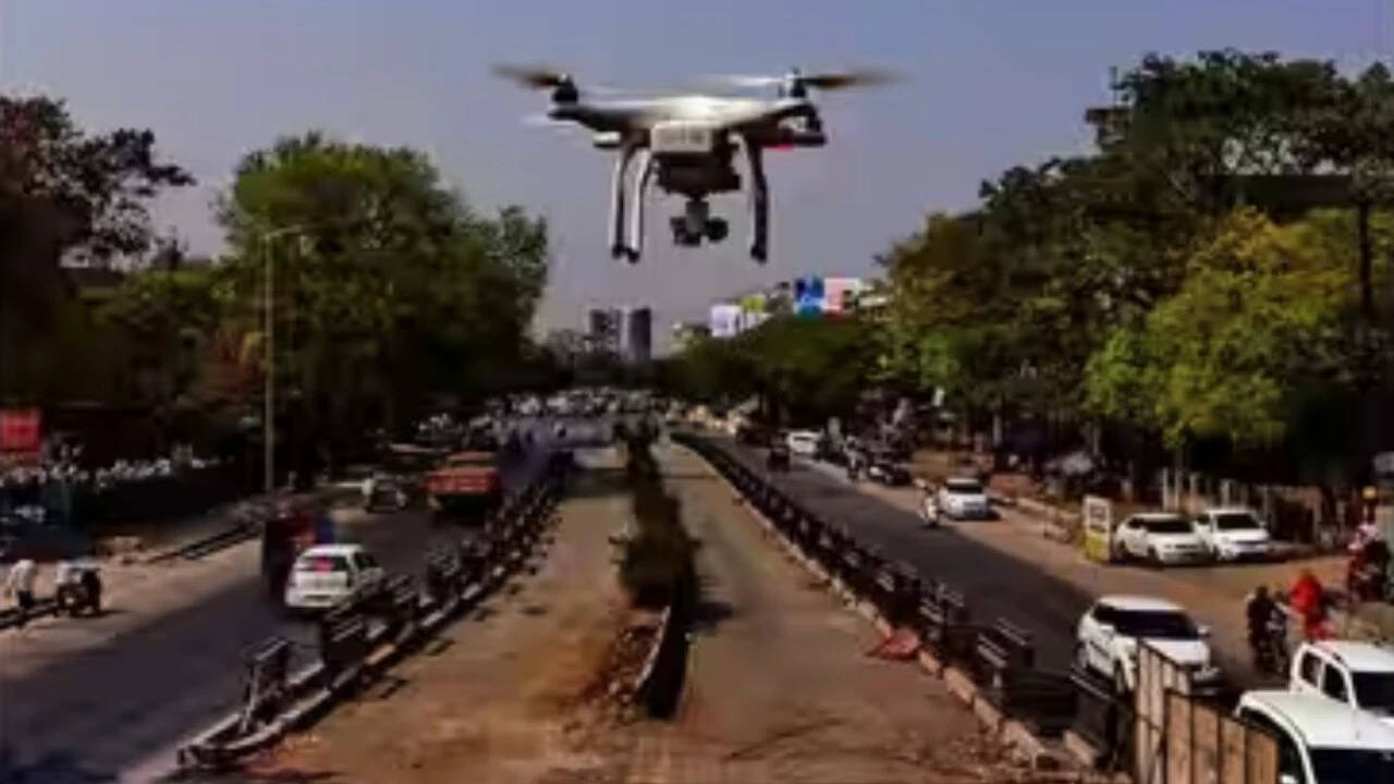
The SVAMITVA program leverages drone technology to accurately map rural lands, providing property cards that affirm land ownership. This initiative minimizes disputes over property claims and curbs unauthorized building practices in villages. Additionally, it simplifies the process of obtaining bank loans by allowing property to be used as collateral, while Gram Panchayats benefit from enhanced geospatial information for improved regional development.
Source: Times of India | https://timesofindia.indiatimes.com/rssfeedstopstories.cms - Read Original


"Adventure is where you chose to go."
Discussion (0)
Please log in to post a comment.
No comments yet. Be the first to share your thoughts!
Sponsored
"Retirement Health Care"
"Camping the Easyway"