
Digital land records: How maps, drones and Bhu-Aadhaar are changing property identity
Global - Asia
Archived
•
August 31, 2026
•
2 views
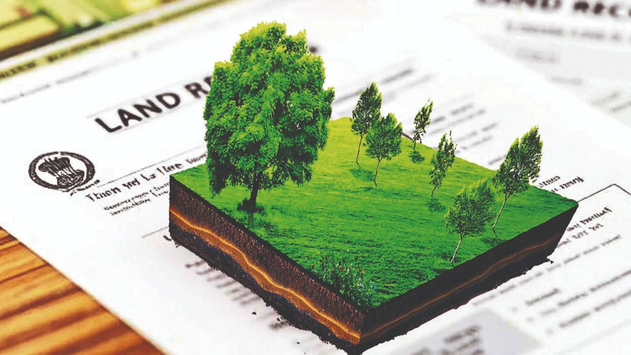
India is digitizing land records and creating unique digital identities for parcels. Over ninety-nine percent of land records are now computerized and georeferenced. A fourteen-digit identification number, Bhu-Aadhaar, is assigned to over forty crore land parcels. Drones are utilized for precise mapping of urban areas under the NAKSHA program. This digital land architecture aims to foster inclusive growth and formal credit access.
Source: Times of India | https://timesofindia.indiatimes.com/rssfeedstopstories.cms - Read Original

"Output is a realization of Input."

Discussion (0)
Please log in to post a comment.
No comments yet. Be the first to share your thoughts!
Sponsored

"House Plans for Structures New and Old"