
Chinese scientists have used detailed satellite imagery analysis to examine damage to US military bases in the Middle East, uncovering discrepancies in both Washington and Tehran’s claims over the scale of the conflict.
Using advanced remote sensing and image-processing techniques, researchers from the Chinese Academy of Sciences (CAS) also identified damage patterns that exposed vulnerabilities in fixed overseas military installations and highlighted operational shortcomings on either...
Chinese satellite imagery analysis challenges US-Iran war claims
Global - Asia
Archived
•
July 29, 2026
•
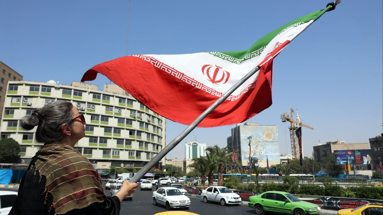
Source: https://www.scmp.com/rss/91/feed - Read Original


"Free Quote Today"
Discussion (0)
Please log in to post a comment.
No comments yet. Be the first to share your thoughts!
Sponsored


"House Plans for Structures New and Old"