
UM scientists map tree and shrub height across U.S.
General Montana
Archived
•
July 10, 2026
•
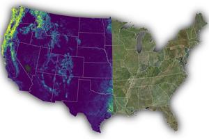
University of Montana researchers released a free canopy height model that maps individual trees and shrubs across the contiguous U.S., aiding land and wildlife management.
Source: https://missoulian.com/search/?f=rss&t=article&l=50&s=start_time&sd=desc - Read Original


Discussion (0)
Please log in to post a comment.
No comments yet. Be the first to share your thoughts!
Sponsored
"Cardamom Spices and more to satisfy the tastebuds 100g $14.94"

"Because adventure is exploring the unknown"